User-submitted reports for Öraefajökull volcano:
Click to show / hide map
Reports:
29 Oct 2018, 22:47 (UTC +1) from Öraefajokull, Iceland 1362:
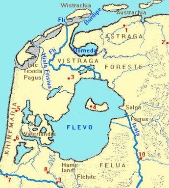 The eruption of the Oraefajakull in 1362 started with major earthquakes that made church towers in Europe collapse. This occured on 15 and 16 January 1362 and may have lasted until june 1362. The floods of 1362 are called the first large ‘mandranke’ because of the enormous number of drownings that took place, at least 20 000. The Oraefajakull produced 10 square kilometers of ash. The tsunami covered all the low lying areas in NorthWest Europe. Two thirds of the Netherlands was inundated. The receding waters eroded much of the bogs creating the Zuiderzee, now called IJselmeer and many of the small inland seas that later became polders. Many current Wadden Islands were formed and other Wadden islands have disappeared. Rungholt, a German harbor with 2000 people disappeared into the sea. In England, a number of harbor cities were wiped away by the floods. In the next 20 years, rivers burst their banks in summer due to the extreme rainfall and winters were the coldest of the last 1000 years. A volcanic winter.
(submitted by: Francis Marcel Vos)
(submitted by: Francis Marcel Vos)
Home | Volcanoes | Photos | Earthquakes | Tours | News | Android App | IOS app